The posts below are listed in the order they were made, which isn't necessarily the order in which the walks will be taking place. Use the links on the right to go to a specific post.

15th October Walk Photos

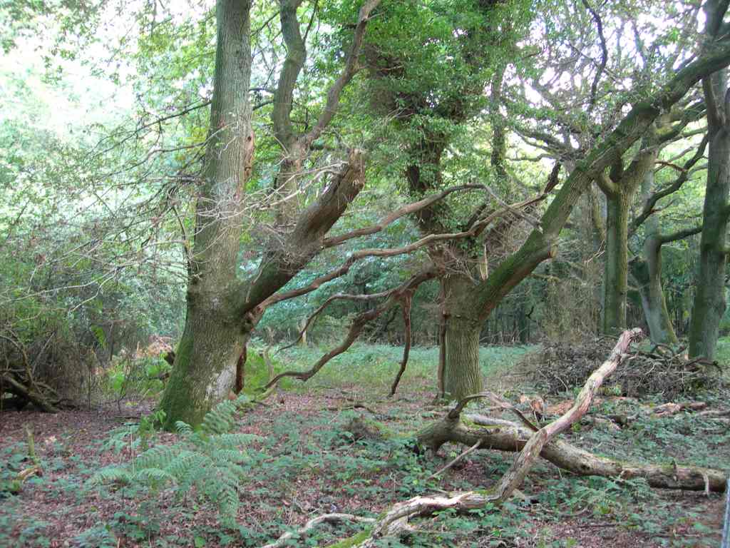
Another lovely day, just like summer, 10¼ miles through The Mens ancient woodland and along parts of the old Wey and Arun Canal.

Those are some serious horns. We didn't have to walk through that field, but shortly after we crossed a field with a rather large bull.

Sometimes Ann will say "You must take a photograph of that, Keith," so I just do as I'm told. This was at Hawkhurst Court in the middle of The Mens.

That dog appeared when we stopped for lunch. I think he was after something.

1st October Walk Photos

Well, considering the forecast we were lucky with the weather, only one short shower. But didn't we have some wind!

Here we are taking a break.

I've cheated slightly with the rest of these photos - they were taken on the route we walked, but not on the day of the walk.

In the woods in Michelgrove Park.

This is one of my favourite views in this area. The farm (Lower Barpham) reminds me of the toy farm sets that kids used to play with.

Looking west from Barpham Hill.

Near Lee Farm.

Walk on 15th October

Date: Sunday 15th October 2006

Time: 10.30am

Starting point: Meet on the south side of Wisborough Green, grid ref TQ049259 - park around green.

We'll be walking through The Mens ancient woodland and along parts of the old Wey and Arun Canal.

On the maps below, the start point is at the centre of each map.

Images produced from the Ordnance Survey Get-a-map service. Images reproduced with kind permission of Ordnance Survey and Ordnance Survey of Northern Ireland.

17th September Walk Photos

Exactly 9 miles this time on a beautiful day's walk that took us from Lavington Common up onto the Downs, and back via Graffham Common.

This is the view from the spot where we stopped for lunch.

John attempting to make an exit from the field with the frisky donkey.

Walk on 1st October

Date: Sunday 1st October 2006

Time: 10.00am

Starting point: Car park at The Dover, grid ref TQ061064. Travelling east on the A27 from Arundel towards Worthing, just before you reach Hammerpot look for a large sign for Dover Lane on the left. Take this turn and follow the road past the farm to the end of the lane (just under half a mile). There's a car park in the woods on the right. From Worthing there's no right turn into Dover Lane, so travel west along the A27 past Hammerpot and look for a U-turn sign back to Worthing and Brighton, take this and then take the turn for Dover Lane as before.

This is a 12 mile walk I’m leading for the Sussex Pathfinders Rambling Club, but anyone can join us. N.B. There’s no pub stop on this walk.

On the maps below, the start point is at the centre of each map.

Images produced from the Ordnance Survey Get-a-map service. Images reproduced with kind permission of Ordnance Survey and Ordnance Survey of Northern Ireland.